In this session James Dales dived into his new custom visual: Icon Map Pro. James showed how to achieve some of the more advanced mapping requirements in Power BI. The new Icon Map Pro visual opens up more opportunities for creating more complex geospatial visuals. For example working with your own polygons to create choropleth maps, drawing lines, shapes and images to create interactive utility network diagrams and clustering data using the H3 hexagon grid system.
Read MoreIn the second meetup session for 2021 we jumped right into Data Visualisation!!. We hope you enjoyed the session and learnt a few things about DataViz techniques, tips and tricks!
Read MoreIn the first meetup session for 2021 we took a look at maps, both within Power BI and in Carto. Alice Drummond (DiscoverEI) introduced us to James Dales' Icon Map and the wonderful functionality we have built into it, before Idris Syed (City of Melbourne) introduced the MapBox API and how to use it. Lastly we had Chandni Gupta (Mosaic Insights) provide a great demo on how to use the Carto mapping platform, where she built from scratch a really cool example!
We hope you enjoy it and learn a few things about mapping options out there!
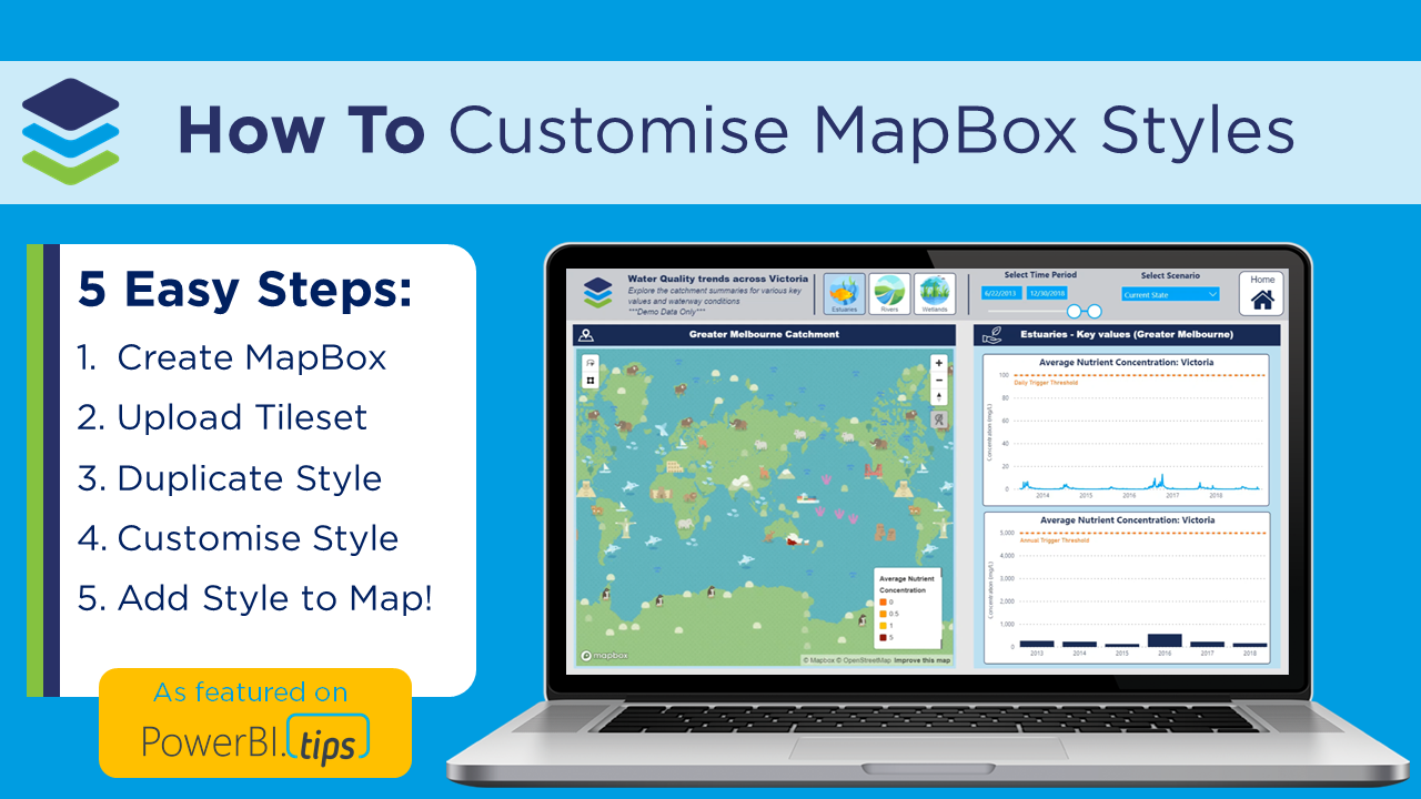
Read MoreIn this post we walk through how to design your own custom MapBox Styles for Power BI and configure dynamic formatting to change styles based on your zoom level! As featured on PowerBI.Tips
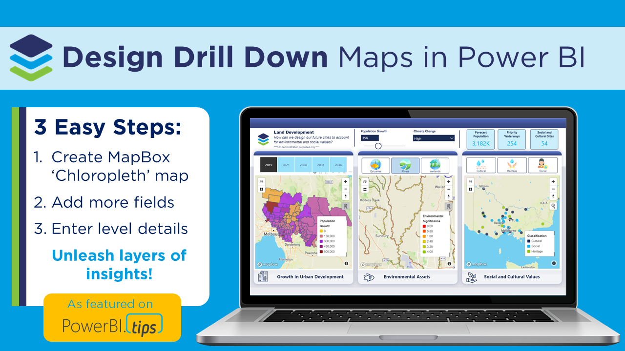
Read MoreIn this post we walk through how to configure ‘drill down’ maps using the MapBox visual in Power BI, to dynamically uncover different layers of your spatial data hierarchy! As featured on PowerBI.Tips
Read More
In this post we walk through how to create awesome 3D maps using the MapBox visual in Power BI to design maps that WOW! As featured on PowerBI.Tips
Read MoreIn this post we walk how to get started using the MapBox custom visual in Power BI, from creating an account, to a tour of the MapBox Studio and how to create a circle and custom chloropleth map! As featured on PowerBI.Tips
Read MoreIn this post we show how to find, modify and process your spatial files, in order to visualise them in Power BI using Shape Map.
Read More


